Marty1
Well-Known Member
- Joined
- Feb 3, 2009
- Messages
- 4,008
- Reaction score
- 236
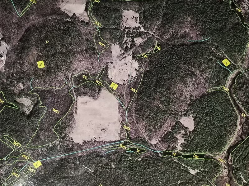
I always ponder a question when I harvest a deer. Why was this deer here? With today’s technology we’re able to go back and grab a bird’s-eye-view of our past hunting grounds for hints to the answer. If you hunt on protected public land like I do on occasion, chances are the land features have not changed much over time. Curious I went back to one of those “default” stomping grounds and plotted on aerial four locations where I have taken deer. An easily accessible aerial view like this was practically unimaginable to your everyday hunter 30-40 years ago. Back in the day all I ever scouted with was a compass and a crumbled-up, marked-up, 7.5 minute U.S.G.S. quad map… no G.P.S. common smart phone gadgetry aids back then. Unlike topo maps, aerials can provide valuable vegetative information. In fact, if you have access to the software it’s relatively easy to overlay an aerial with topographic contour lines.
If I were to again hunt the area in the photo, as memory recalls, I’d likely start-off at one of the four locations to plop myself down given the following:
Location <a href='/tags/3' rel='nofollow' title='See all tagged subjects with: #3'>#3</a> - A narrow woodland strip between two open fields.
Location <a href='/tags/2' rel='nofollow' title='See all tagged subjects with: #2'>#2</a> - A central upland area where several deer trails converged.
Location <a href='/tags/1' rel='nofollow' title='See all tagged subjects with: #1'>#1</a> – Edge of a heavily wooded swamp.
Location <a href='/tags/4' rel='nofollow' title='See all tagged subjects with: #4'>#4</a> - A deer trail paralleling a wetlands corridor.
----------------------------------------------------------------------------------------------------------
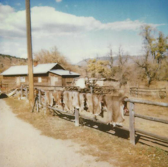
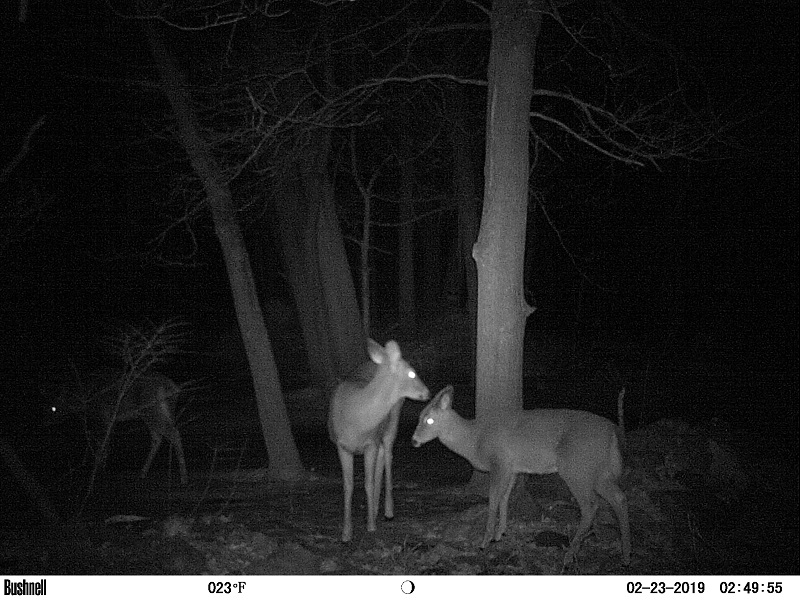
p.s. Ground photos are 8) too. Here’s a trail cam pic from just last night.
[font=Verdana, sans-serif]
") 8)
8)